top of page
Drone Surveying
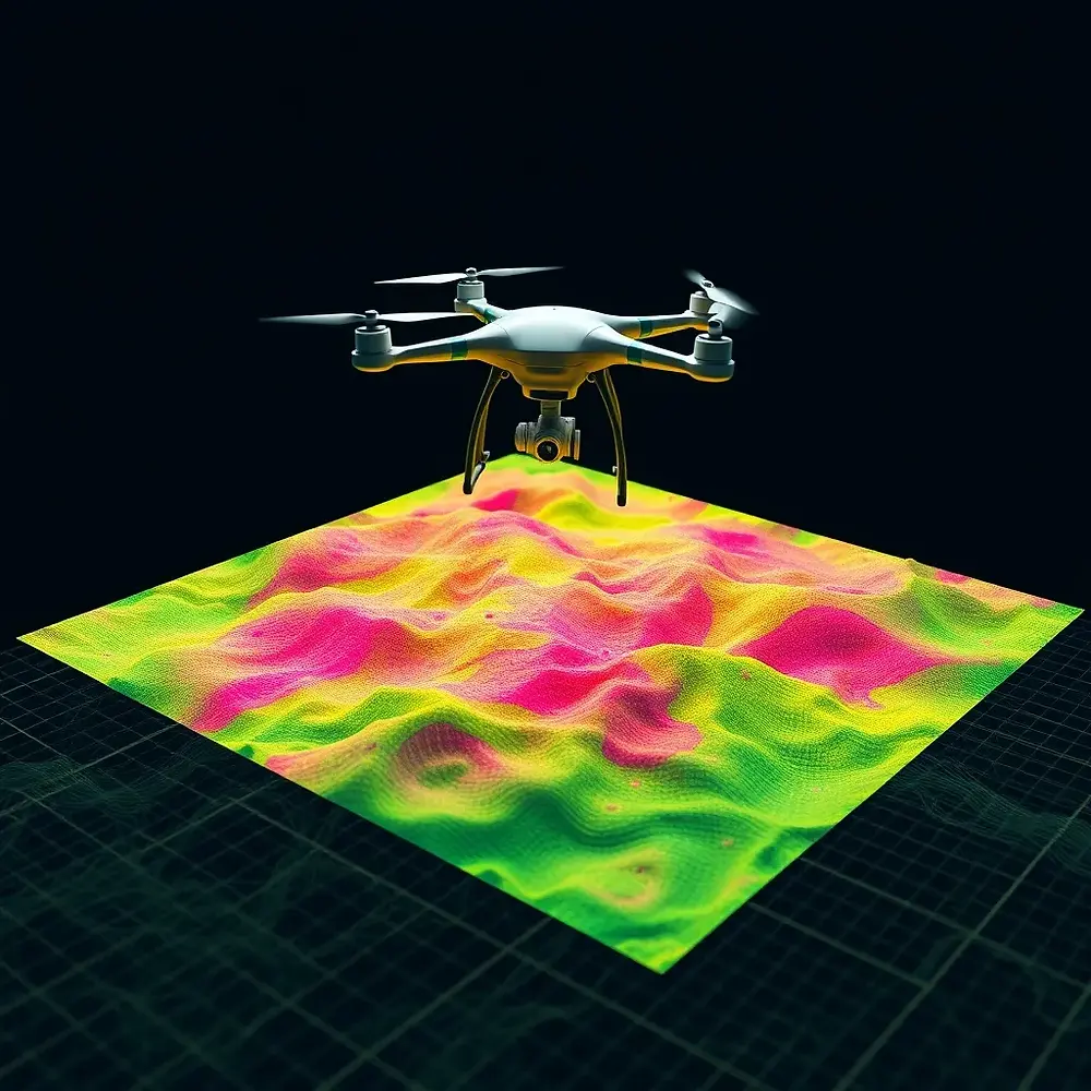
Enhance precision and efficiency with drone surveying by Vetrone Aerial Solutions in Portland, OR, and Vancouver, WA. Our high-resolution aerial mapping, LiDAR, and photogrammetry technology deliver accurate topographic data for construction, land development, agriculture, and environmental monitoring. Reduce costs, save time, and improve decision-making with fast, reliable, and scalable drone surveying solutions tailored to your project needs.
Posts Coming Soon
Explore other categories in this blog or check back later.
bottom of page